
How difficult is the Loch Lomond east shore section?
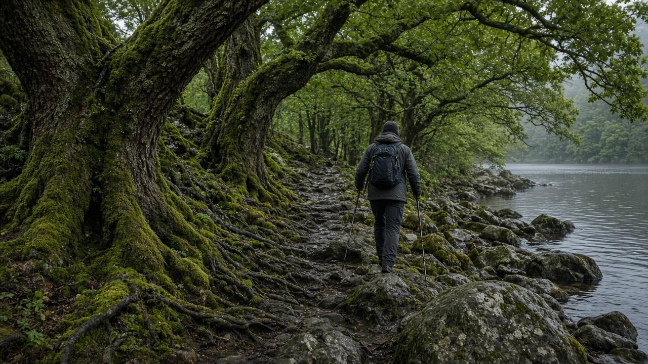
It is the slow day of the West Highland Way. The kilometres look ordinary. The roots and the boulders do not.
Essential Field Takeaways
- It is the hardest day of the Way for most walkers, and it is still a path. You do not need your hands on the rock.
- The day people mean is Rowardennan to Inverarnan, about 22 km. Roots, boulders, and no shop.
- The planner’s east-shore section is longer: Balmaha to Inversnaid, about 31 km and 900 m of ascent, on rocky ground.
- A higher forest track runs above the water between Rowardennan and Inversnaid. North of Inversnaid the Way is back on the boulders.
- From 1 March to 30 September a tent on this shore needs a National Park permit. There is no shop between Balmaha and Beinglas, about 21 miles.
What “difficult” means on this shore
People ask because the map looks kind. The east shore is not a Munro and it is not a scramble. A fit walker who is comfortable on rough ground finishes it. Someone whose only training was the path out of Milngavie finds the same kilometres take much longer, especially after rain, when the rock is greasy.
Two distances get mixed up. The usual hard day is Rowardennan to Inverarnan, about 22 km. The planner’s named east-shore section is Balmaha to Inversnaid, about 31 km with 900 m of ascent, on rocky ground with a camping pack. Balmaha to Rowardennan, inside that longer figure, is still a path through the woods. The slow ground starts after Rowardennan.
| Section | On this site | The walking |
|---|---|---|
| Drymen to Rowardennan | About 23 km | A path. You enter the Loch Lomond camping zone. |
| Balmaha to Inversnaid | About 31 km and 900 m of climb | The planner’s east-shore section. Rocky, and slower than the distance. |
| Rowardennan to Inverarnan | About 22 km | The hard day. Roots, boulders, no shop. |
Where you can choose an easier line
Between Rowardennan and Inversnaid a higher forest track runs above the shore. It is wider and faster. The shore path under it is the slow one: oak woods, roots, and rock at the water. Use the track if the day is already long, the rock is wet, or you are walking with someone who is unhappy on boulders.
North of Inversnaid the Way returns to the water. That stretch toward Inverarnan and Beinglas is the boulder-hopping people warn you about, and the forest track does not replace it. If 22 km of this ground is too much for one day, stop at Rowardennan and again near Inversnaid instead of joining the shore into a single push.
Do not time this day from the military road
Twenty-two kilometres on the shore is a longer day than twenty-two kilometres on the track north of Tyndrum. Put the shore section through the pacing calculator before you call it easy.
The permit, and the empty stretch
From 1 March to 30 September the east shore, from around Balmaha through Rowardennan toward Inversnaid, is a camping management zone. A tent needs a National Park permit or a campsite. Outside those months the byelaws lapse and the Scottish Outdoor Access Code applies again.
There is no shop between Balmaha and Beinglas, about 21 miles. Carry the food for the shore day, and the canister you bought in Glasgow. Milngavie does not sell stove gas.
Time the Loch Lomond east shore
The Balmaha to Inversnaid section, on rocky ground with a camping pack.
Recommended Further Reading
Where and when to see the Hogwarts Express in Scotland
The Jacobite steam train, the Hogwarts Express in the Harry Potter films, runs on the West Highland Line between Fort William and Mallaig. It crosses the Glenfinnan Viaduct, a 21-arch curved stone bridge about 15 miles west of Fort William on the A830. In the 2026 season the morning train leaves Fort William at 10:15, and the afternoon train at 12:50 while that service is running.
Trip PlanningCan you walk the West Highland Way in 5 days?
The West Highland Way is about 154 km. Five days means about 30 km a day on paper, and two days near 42 km in practice, one of them on the rocky east shore of Loch Lomond. It suits a fit walker with booked beds and a light pack. A first long walk, or a full camping pack, belongs on the 7-day plan.