
Navigating a Munro in cloud: why a phone is not enough
Scottish clag hides the path and the cliffs. A paper map and a compass still work when the battery does not.
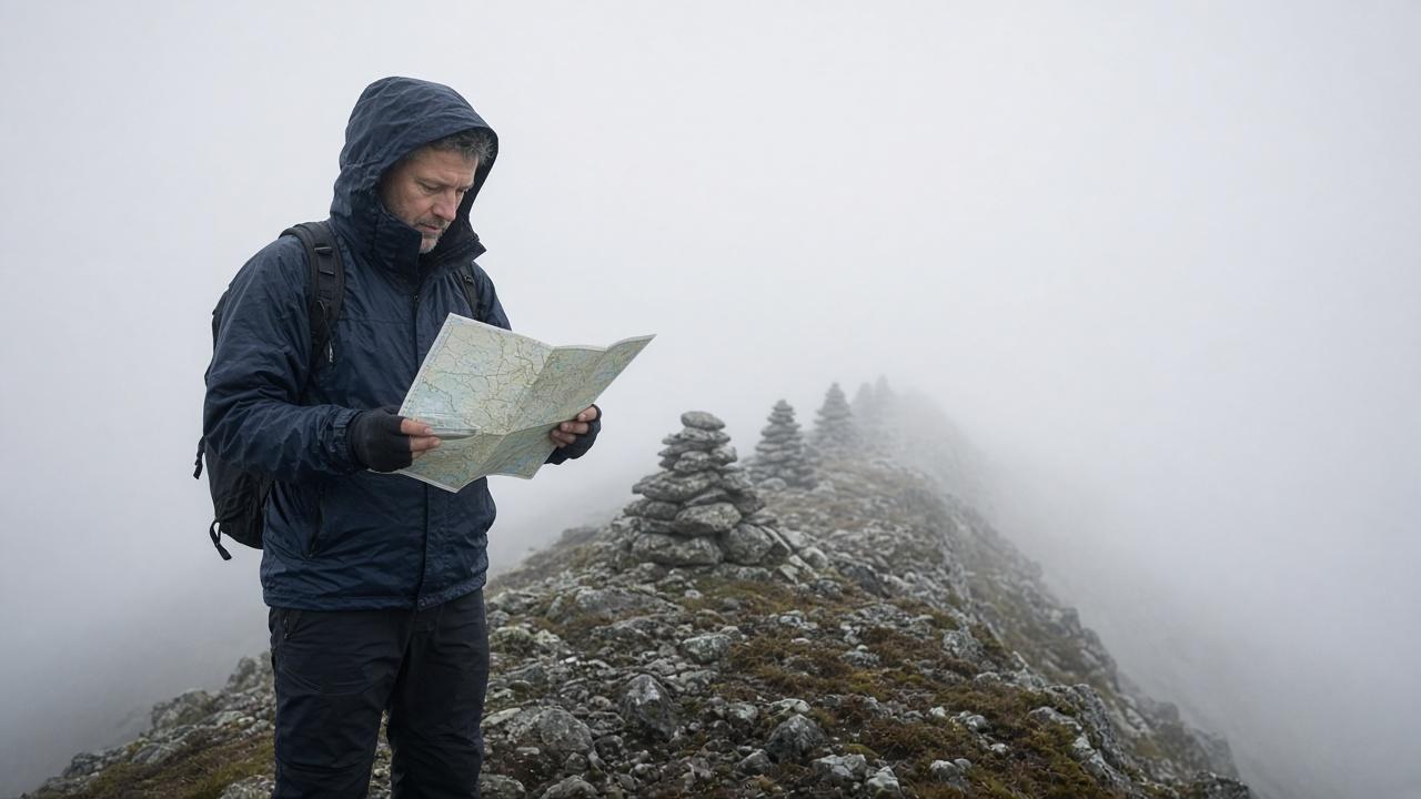
Essential Field Takeaways
- Clag is low cloud on the hill. The path you could see in the glen disappears, and so do the cliffs.
- Cold and damp drain a phone. A dead battery at the top is a normal October outcome, not a freak one.
- Carry the Ordnance Survey map for the hill, 1:50,000 or 1:25,000, in a waterproof case, and a magnetic baseplate compass you have used before.
- On a plateau, walk from cairn to cairn. If you cannot see the next one, stop. Do not follow a gap toward a drop.
- The decision that matters is turning around on the way up, while the way down is still obvious.
What clag does to a phone
Clag is the cloud that sits on the hill when the glen is merely grey. Visibility drops to a few metres. The path, the cliffs, and the slope that tells you which way is down all go at once. A phone will still try to show a position. That is not the same as a route.
Cold mist is hard on batteries, and an hour of a bright screen in the rain finishes a phone that was fine at the car. Wet fingers do not work on glass. There is often no signal on the plateau to reload a map tile you did not save. A blue dot with no contours does not mark the north face of Ben Nevis, the crags on a Cairngorm, or the edge of a Glen Coe ridge. People walk off those edges because the dot was moving and the ground was not readable.
Download is not a compass
An offline map on a phone is worth having. It is the spare. The paper map and the compass are the ones that work with gloves on, in a whiteout, at 2% battery.
The map and the compass
Take the Ordnance Survey sheet for the hill you are on. Landranger at 1:50,000 covers a day. Explorer at 1:25,000 shows the path and the crags in more detail. A photocopied screen grab that stops at the edge of the plateau is how parties discover the descent is on the next tile. Put the map in a waterproof case. Highland rain soaks paper in minutes.
A baseplate compass, the cheap magnetic kind with a rotating housing, is the tool. Set the map to the ground before you need it, while you can still see, so the bezel is not a new problem in the cloud. Walk on a bearing, time the leg, and expect the path to be underfoot only if you are on it. If you have not practised this in a park, the summit in a October mist is a bad classroom. Go with someone who has, or pick a lower day.
Slopes lie. A gentle tilt feels like the way down and can be the way toward a crag. Timing and the bearing are the check, not the feeling in your boots. Poles, a party that stays together, and a whistle matter more once you cannot see each other at twenty paces.
Ben Nevis, as the ordinary example
The Mountain Track is a built path until the plateau. The top is broad. The cliffs and gullies are on the north side. The way back to the zig-zags leaves the summit on a line of cairns. It does not leave toward the edge. In cloud, walk from one cairn to the next. If the next cairn is not visible, stop and go back to the last one you trust. Do not follow a footprint, a gap in a cornice, or the slope.
The same habit covers other Munros. A path that was obvious at the car park is a series of guesses once the cloud is below the summit. Start early enough that you are still descending while you can see. If the forecast puts the top in cloud and you are not happy on a bearing, walk a glen. The hill is still a Munro tomorrow. The conditions page tells you whether the summit is in cloud before you leave the valley.
Is the summit in cloud today?
Ben Nevis summit weather, and how long the Mountain Track takes if you are still going.
Recommended Further Reading
Loch Lomond camping byelaws: where a permit is required
From 1 March to 30 September, camping management zones on the east shore of Loch Lomond require a National Park permit or a formal campsite. That is the shore the West Highland Way follows from around Balmaha through Rowardennan toward Inversnaid. Outside those zones, and from October to February, a small tent camp is allowed under the Scottish Outdoor Access Code. Sleeping in a vehicle is not camping, in either season.
Safety & BothiesIs wild camping legal in Scotland?
Wild camping with a tent is legal across most of Scotland under the Scottish Outdoor Access Code. Sleeping in a car, campervan, or motorhome is not. From 1 March to 30 September, Loch Lomond’s camping zones need a permit.